Log in
All resources
Create a design
1,095,865 Free Images of Maps Of Chaldea
maps in the library of congress
california
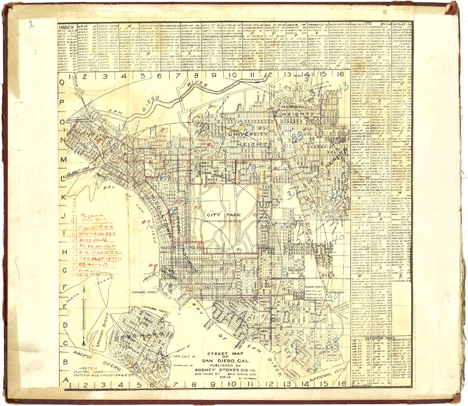
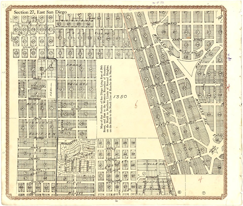
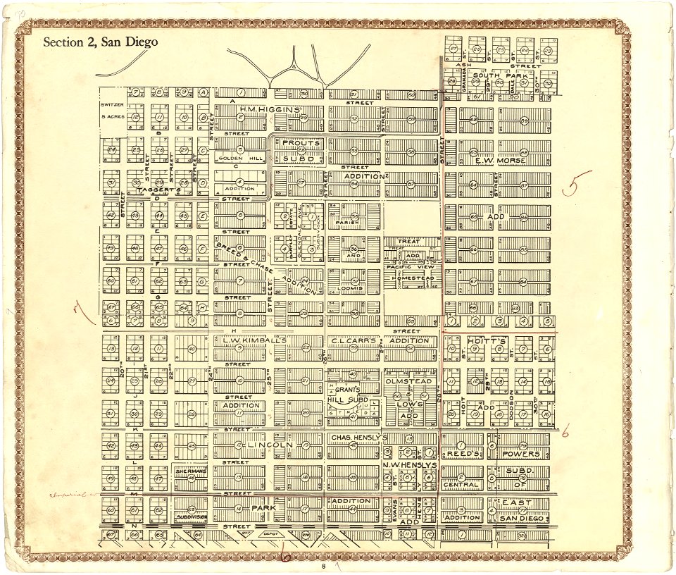
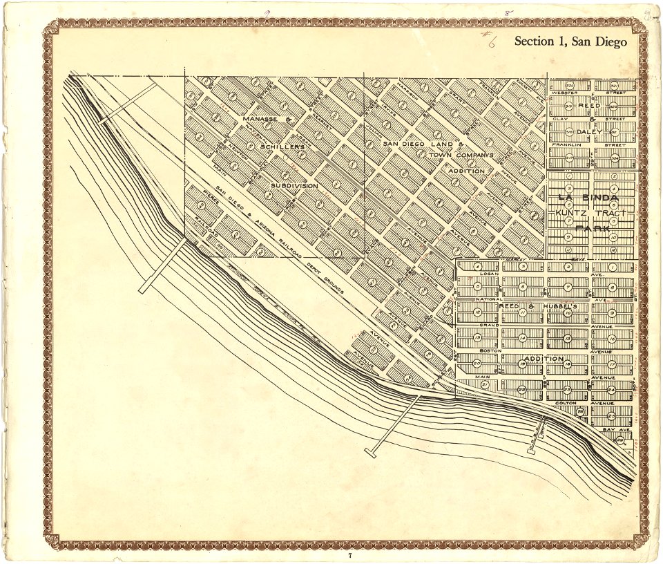
plat book of san diego county
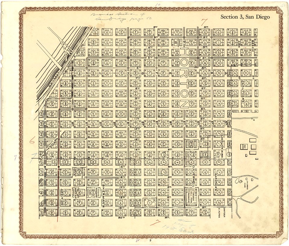
maps of san diego
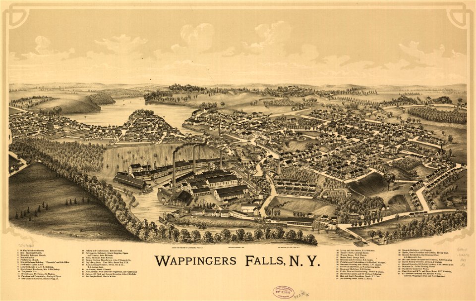
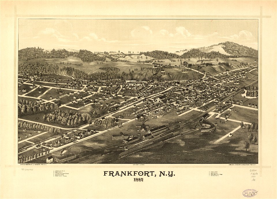
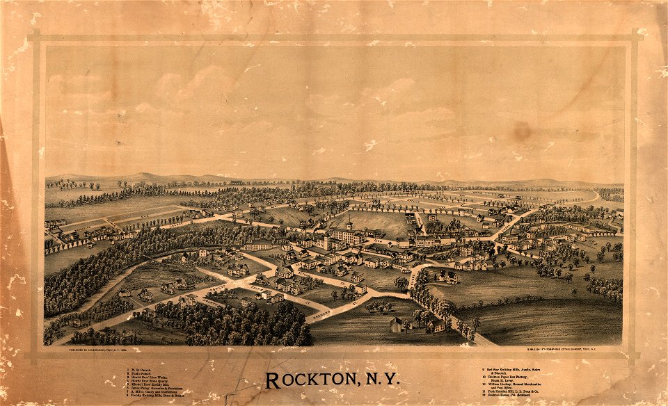
new york
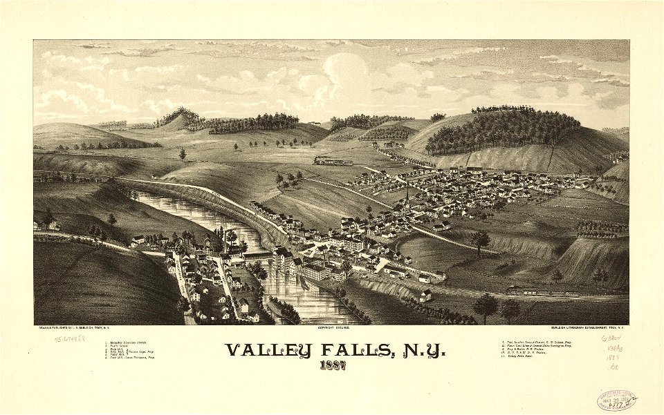
town maps by l. r. burleigh
l. r. burleigh
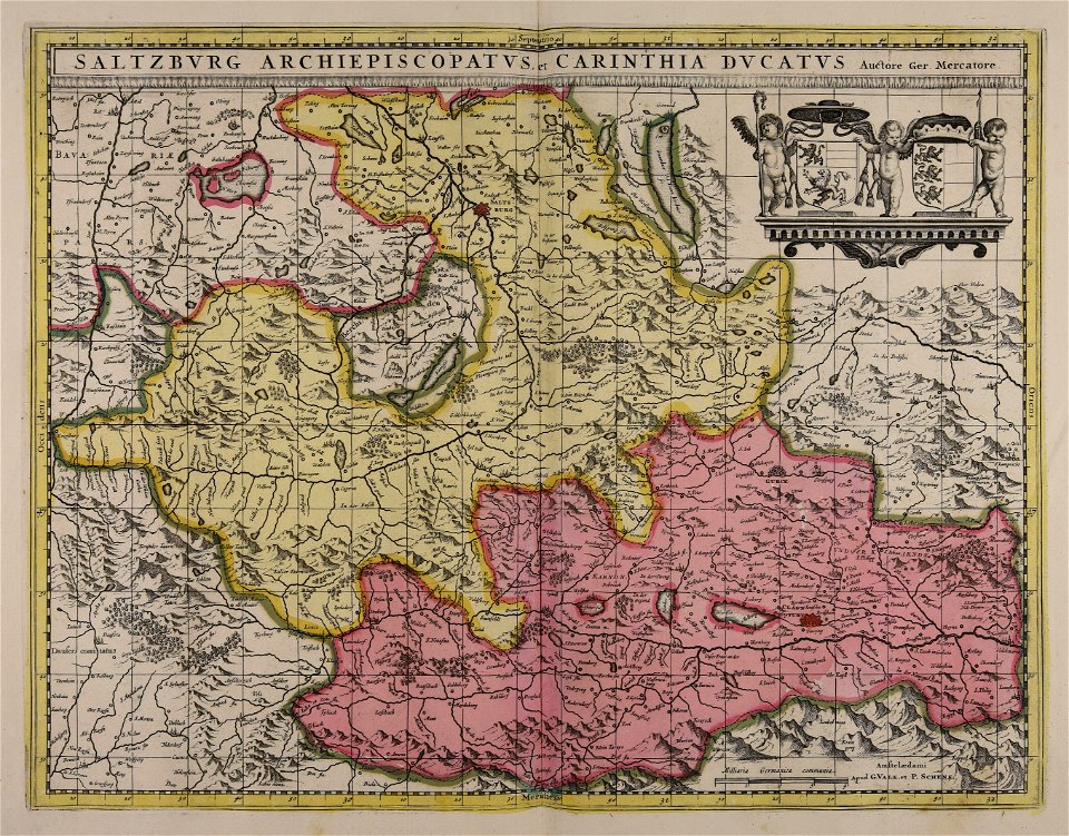
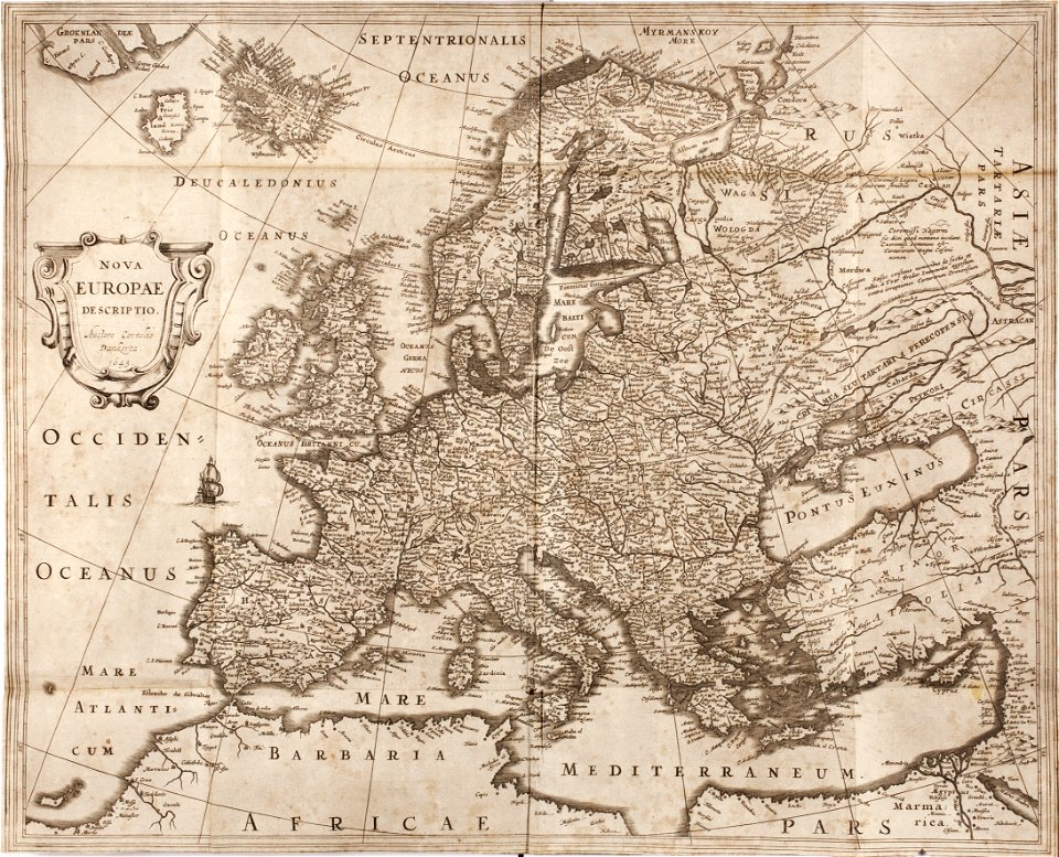
maps made in the 17th century
frederick de wit
atlas de wit 1698
fonds ancely - bibliothèque municipale de toulouse - maps
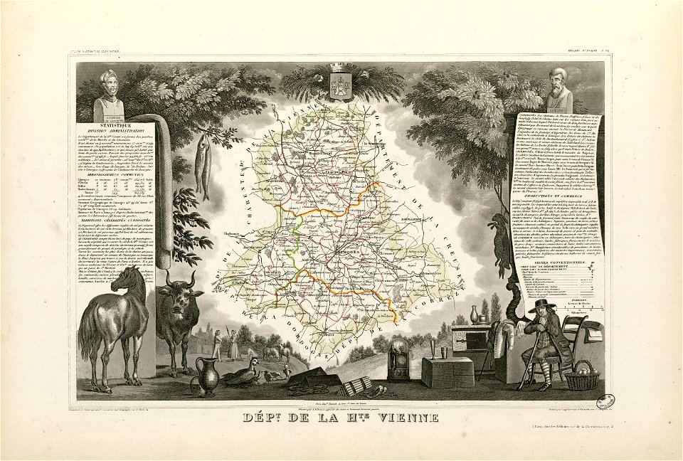
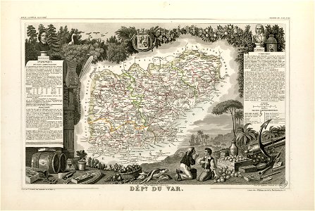
victor levasseur - maps of france
coats of arms of auch
jean lannes
fonds ancely - bibliothèque municipale de toulouse - maps
frédéric-auguste laguillermie
coats of arms of cities in var
old maps of var
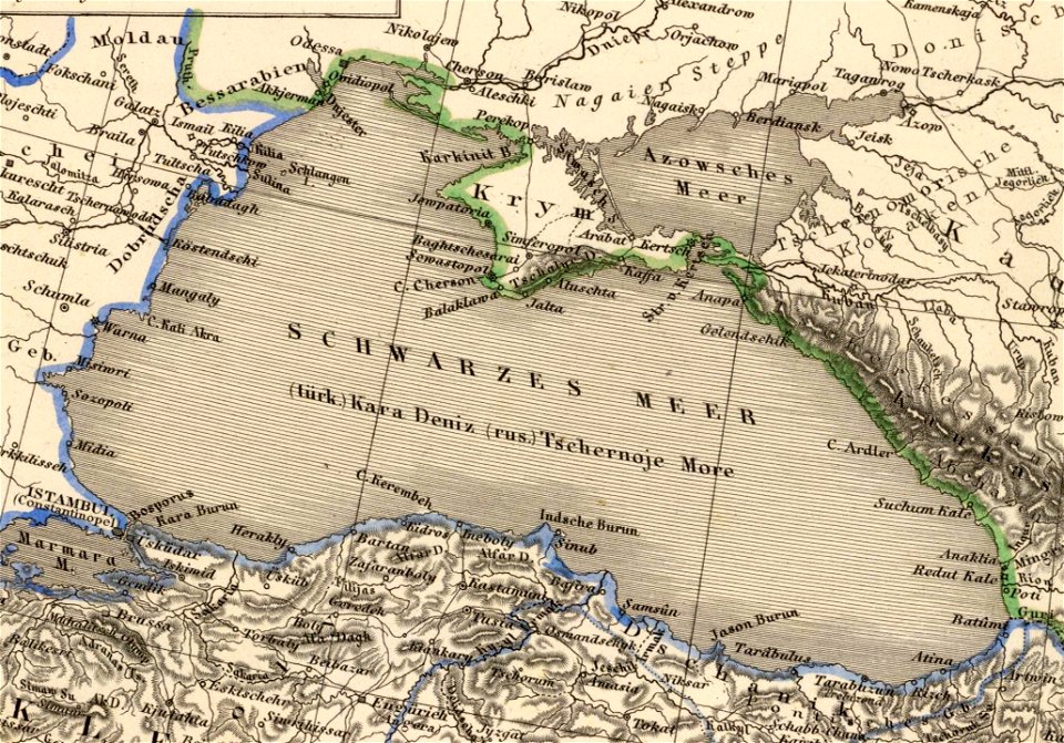
old maps of the sea of azov
1856 maps
university of toronto wenceslas hollar digital collection
hollar maps and plans of london
ogier gisleen van busbeke
1620 maps of europe
maps by matthäus seutter
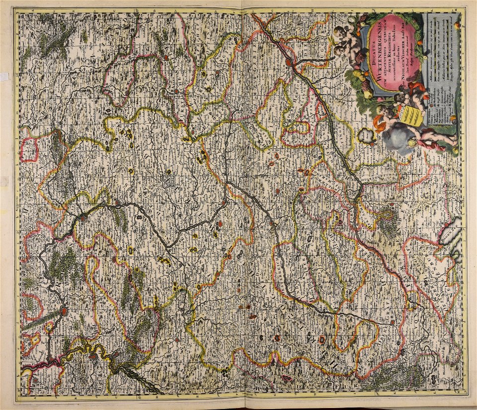
history of stuttgart
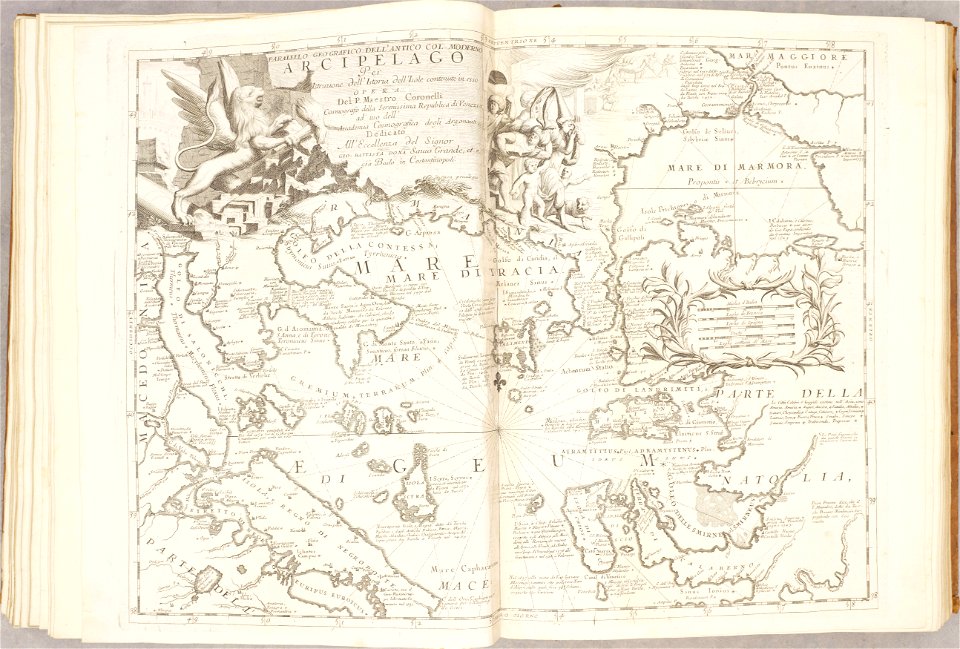
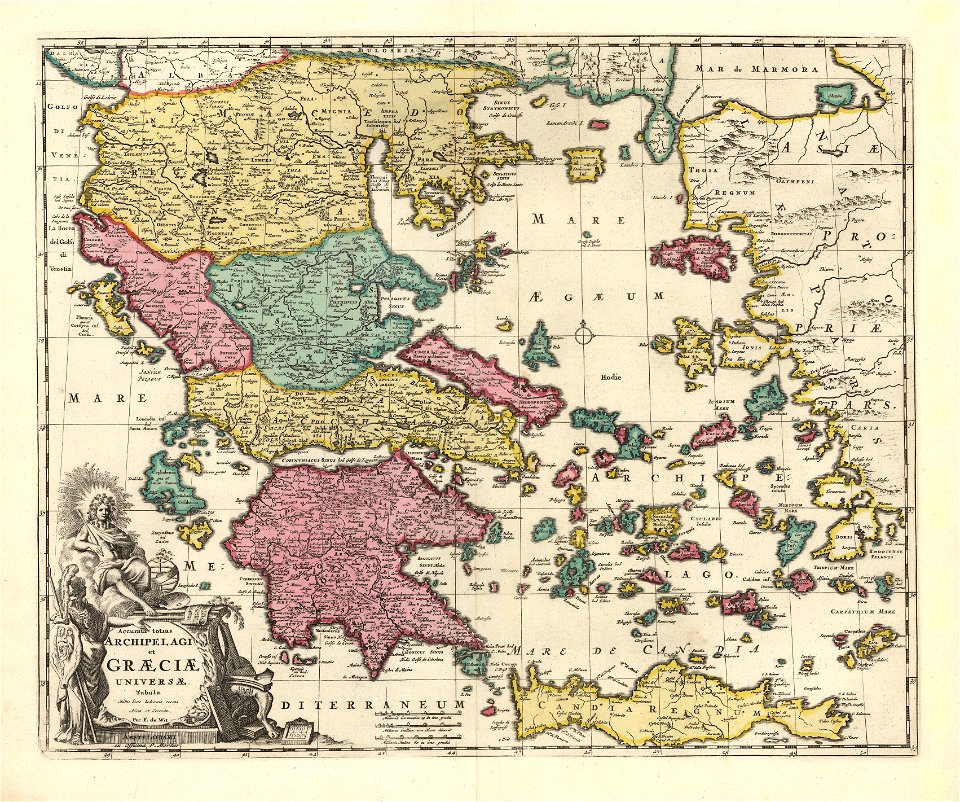
maps of the sea of marmara
old maps of the aegean sea
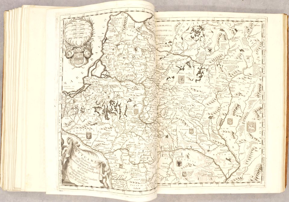
old maps of the grand duchy of lithuania
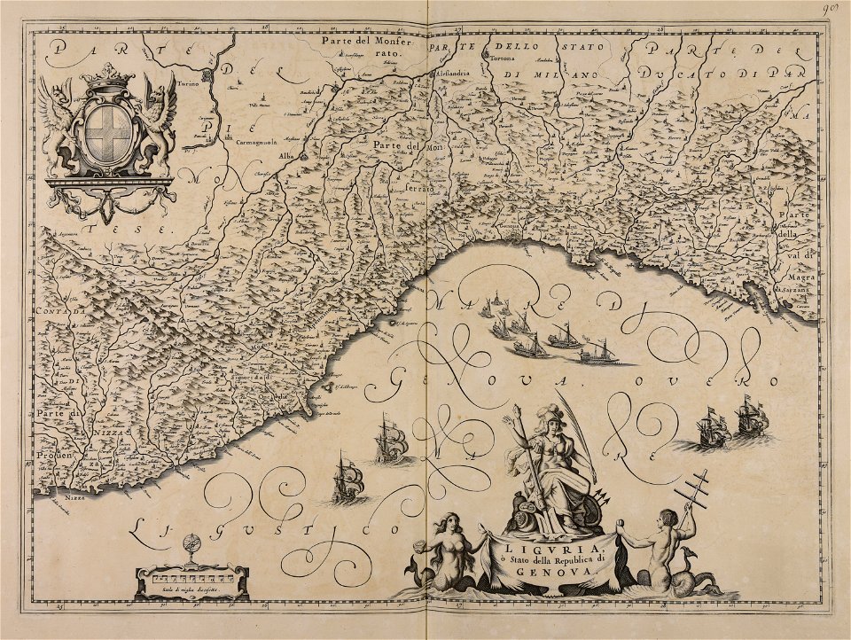
atlante veneto (raremaps.com) volume 2
charte von schwaben (bohnenberger)
19th-century maps of bavaria
old maps of the tsardom of russia
atlas novus (blaeu)
maps in the library of congress
california
maps in the library of congress
california
maps in the library of congress
california
maps in the library of congress
california
maps in the library of congress
california
maps in the library of congress
california
maps in the library of congress
california
maps in the library of congress
california
maps in the library of congress
california
maps in the library of congress
california
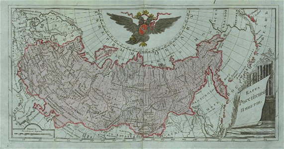
small atlas of the russian empire (1796)
old maps of the russian empire
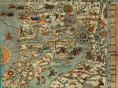
carta marina (details)
maps of vyborg
maps of the eastern theater of the american civil war
old maps of the american civil war
volume 5 of le tour du monde
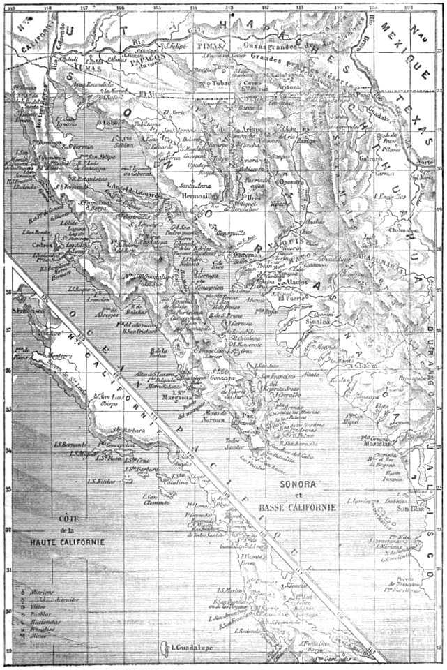
old maps of mexico
maps in the library of congress
new york
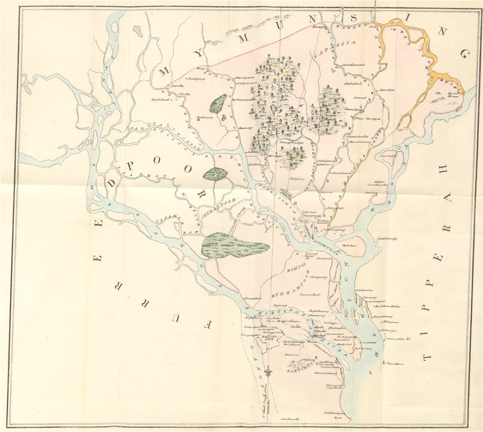
old maps of dhaka
1840 books
maps with cartouches
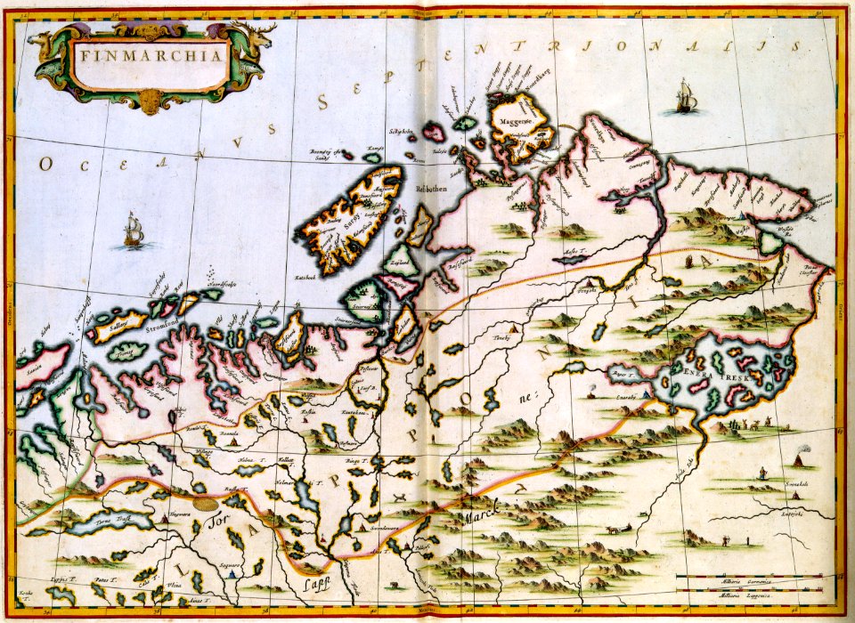
finland
17th-century maps of france
maps with cartouches
maps with cartouches
ships on maps
david rumsey historical map collection
j. and p. knapton
maps in the library of congress
new york
maps in the library of congress
new york
double hemisphere world maps
old maps of the world
new york
florida
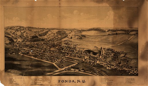
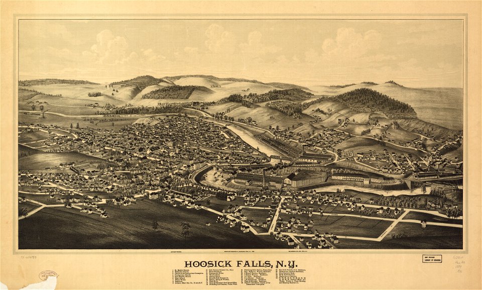
hoosick falls
new york
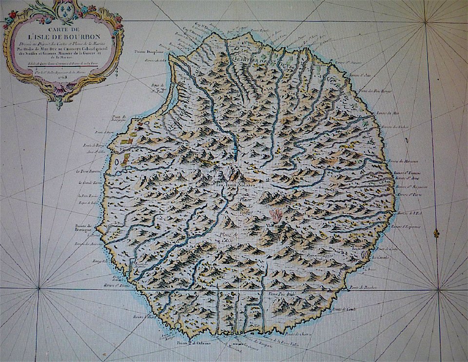
maps in musée de la compagnie des indes
old maps of réunion
maps made in the 17th century
gerard valck
maps made in the 17th century
gerard valck
portrait photographs of victor emmanuel ii of italy
photographs by andré adolphe eugène disdéri
cornell university library
garden of eden
christopher columbus
ferdinand magellan
maps by sebastian münster
old maps of slovakia
old maps of canada from the norman b. leventhal map center
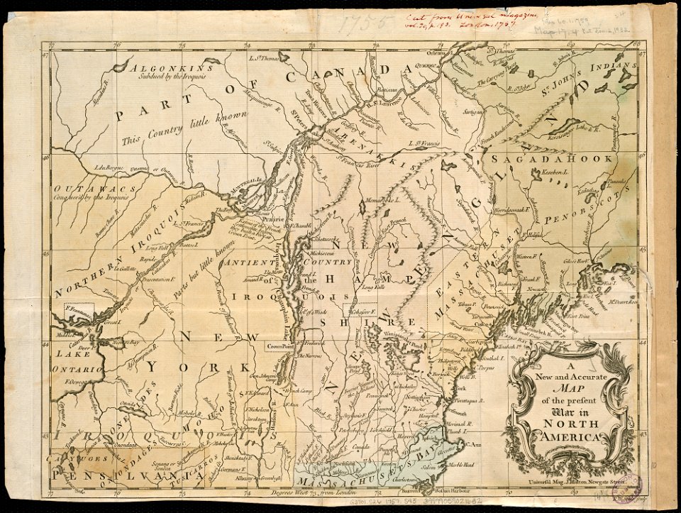
maps of the french and indian war
animals of the prehistoric world (third serie)
hypohippus
maps of the sea of marmara
old maps of the aegean sea
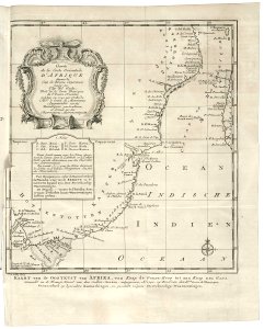
old maps of the dutch east india company - africa
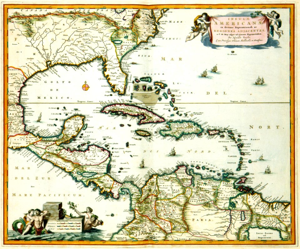
1747)
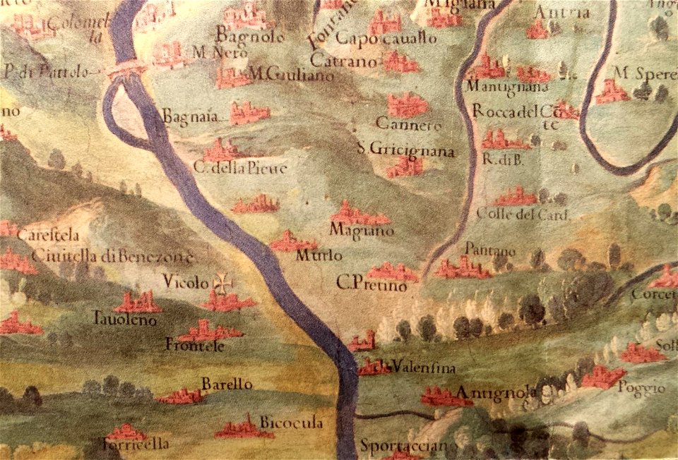
history of perugia
old maps of umbria
prints from dankaerts historis at the peace palace library
cornelis danckerts (i)
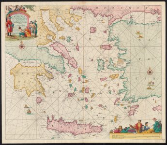
old maps of the aegean sea
old maps of greece
atlantis magni tomus secundus (biblioteca comunale di trento)
maps made in the 17th century
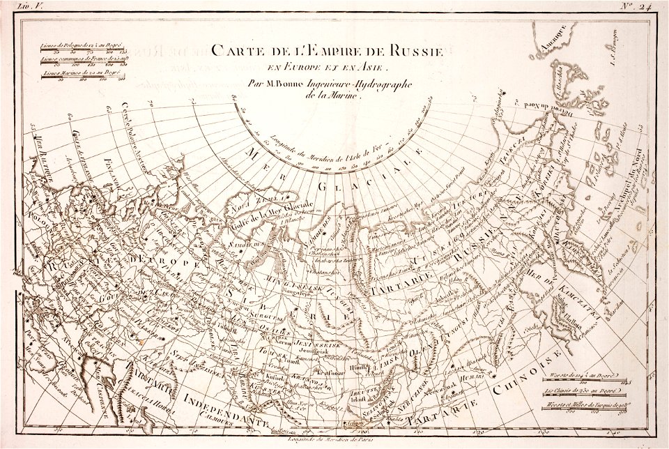
1780 maps of russia
bonne projection
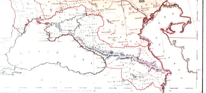
19th-century maps of the caucasus
1856 maps
maps made in the 17th century
jan janssonius
pages with isbn errors
000
german-language maps showing history of europe
david rumsey historical map collection
maps in the library of congress
new york
maps made in the 17th century
old maps of wales
maps with cartouches
atlas van der hagen
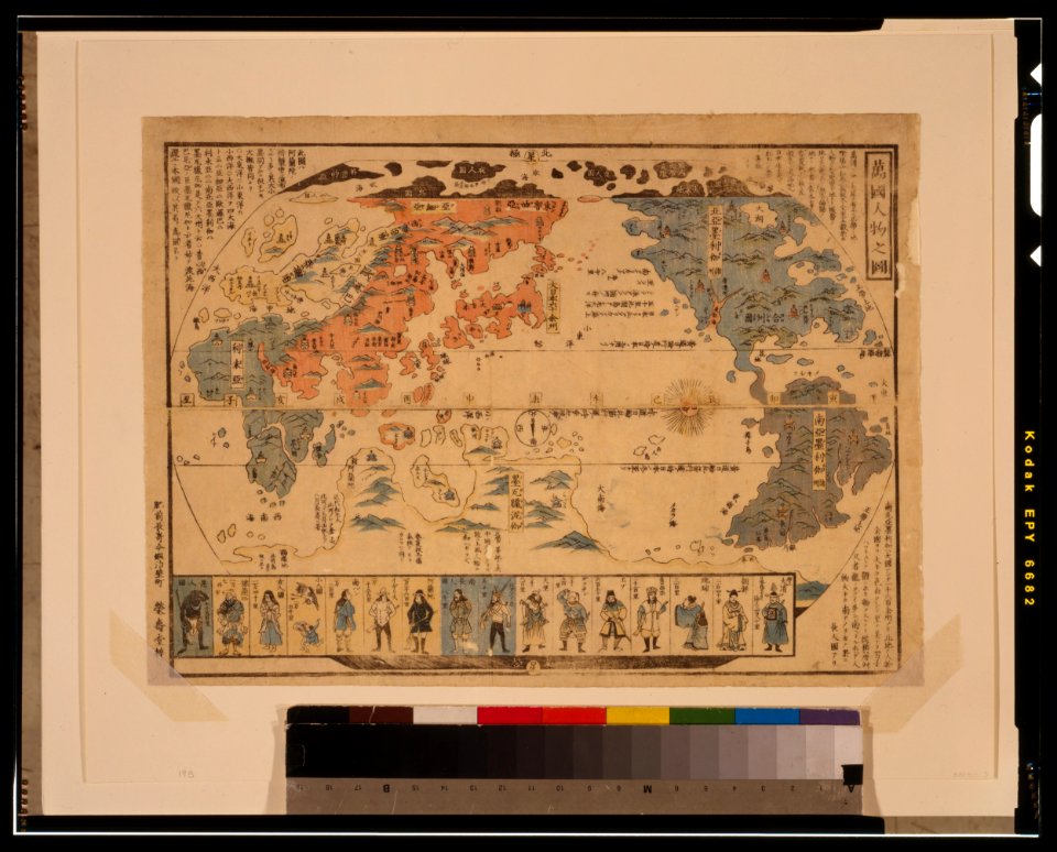
ukiyo-e by unknown artists
1800s maps of the world
ukiyo-e by unknown artists
1800s maps of the world
maps made in the 17th century
maps by nicolaes visscher i
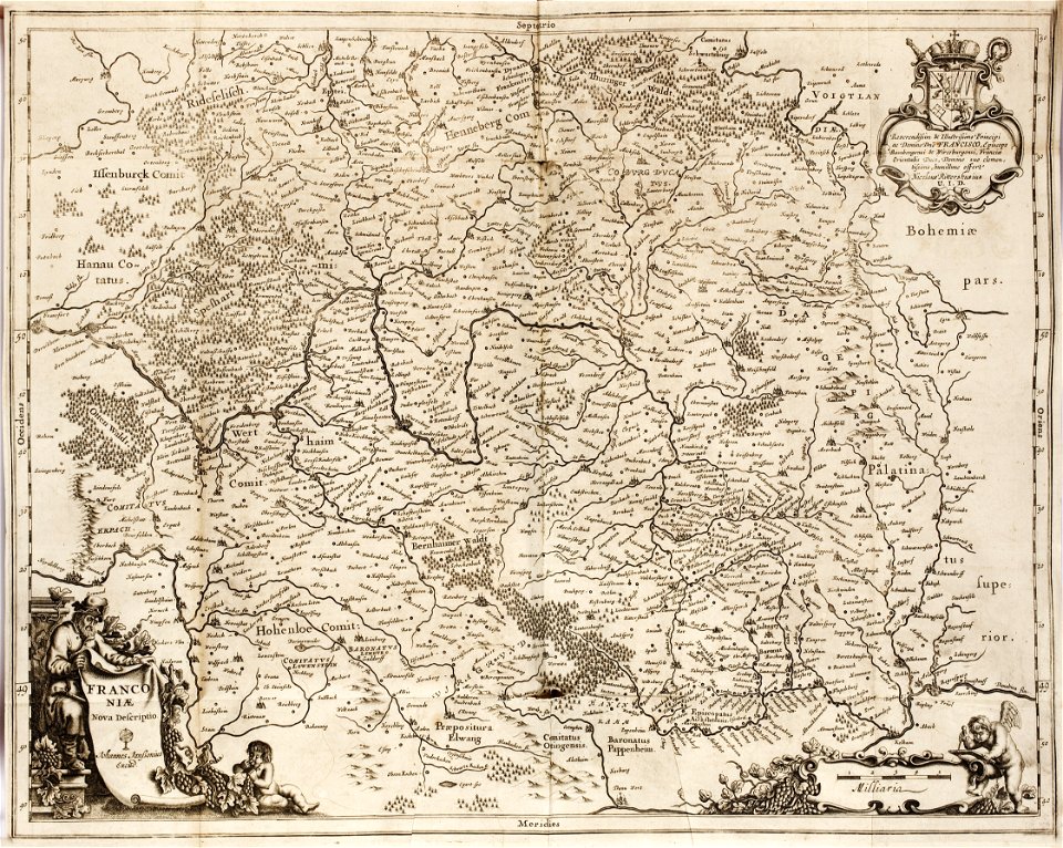
1642 maps of bavaria
franconia
maps in the library of congress
new york
maps in the library of congress
new york
maps in the library of congress
new york
maps made in the 17th century
gulf of trieste
david rumsey historical map collection
german-language maps
maps made in the 17th century
nicolaes visscher ii
david rumsey historical map collection
german-language maps
maps of paris from the norman b. leventhal map center
siege of paris, 1870-1871
maps in the stadsarchief amsterdam
hendrik de leth
description des principales villes (1690)
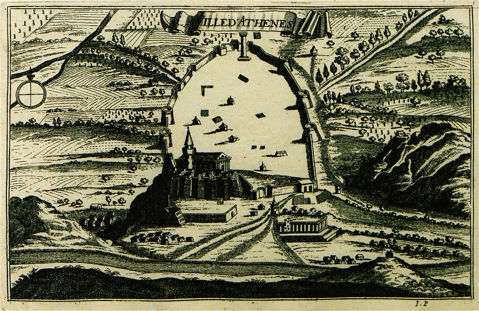
old maps of athens
vatican gallery of maps
old maps of italy
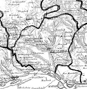
map „das herzogthum nassau“ by j.b. fischer
1828
16th-century maps of hispaniola
waldseemüller map
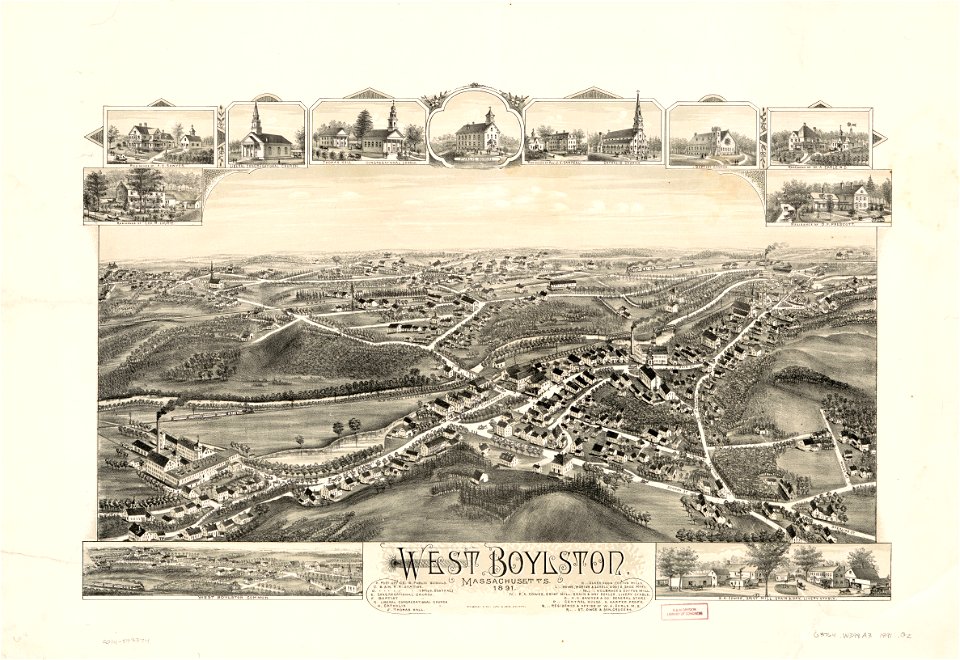
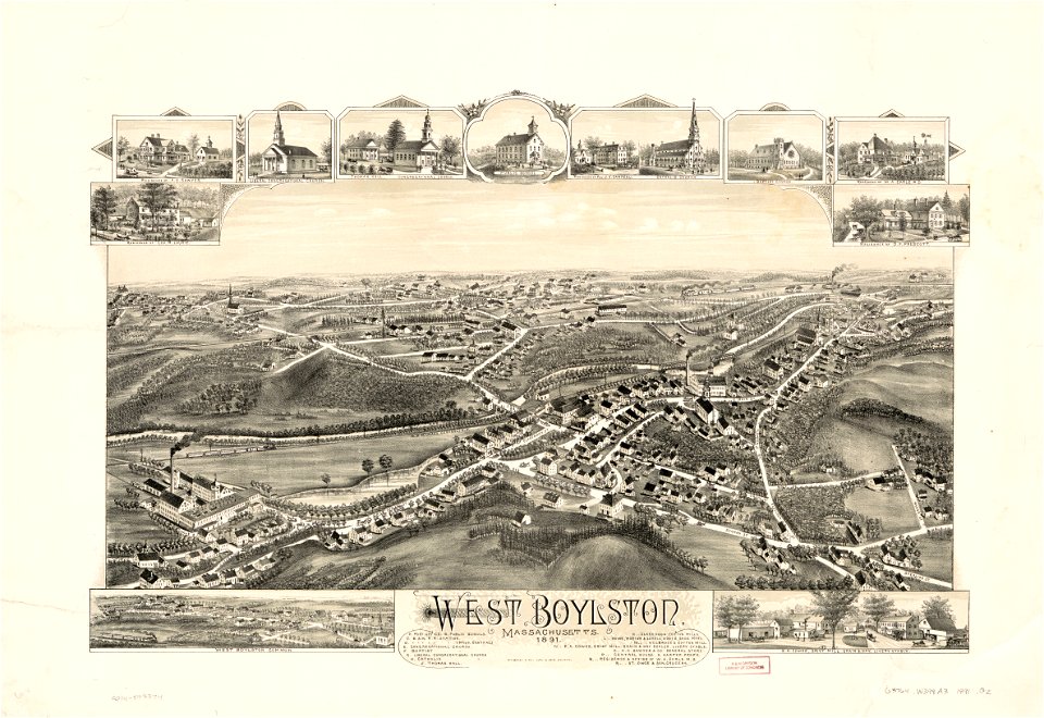
massachusetts
o. h. bailey
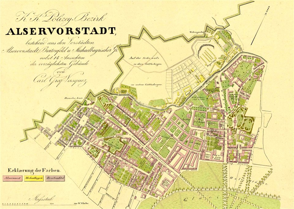
1830 vienna map series by carl graf vasquez
old maps of josefstadt
university of toronto wenceslas hollar digital collection
maps by wenzel hollar
massachusetts
o. h. bailey
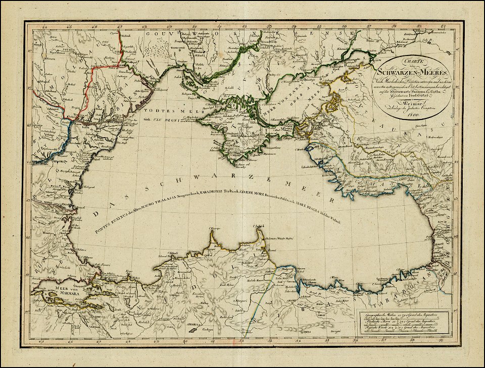
18th-century maps of the black sea
1800 maps of georgia
atlante veneto (raremaps.com) volume 2
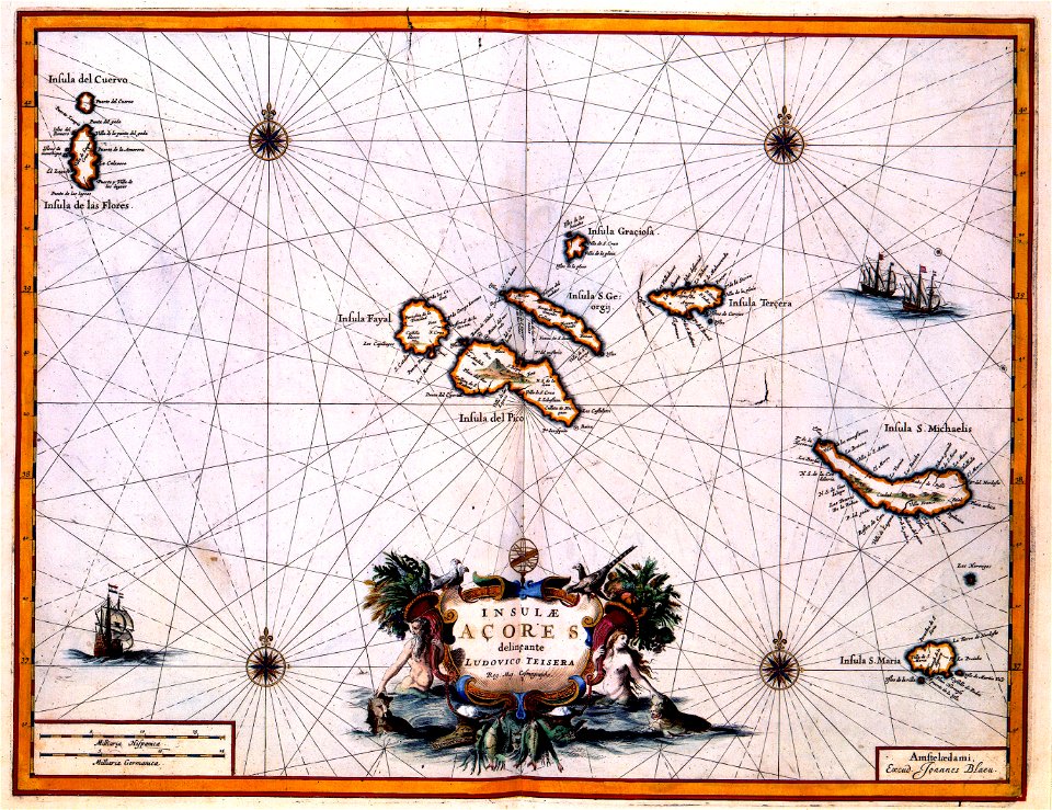
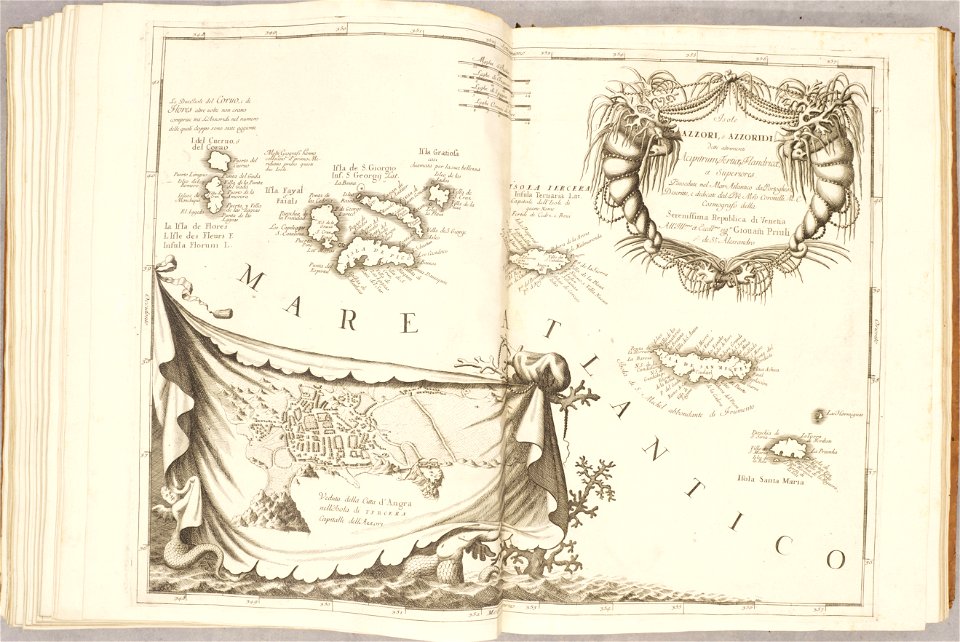
old maps of the azores
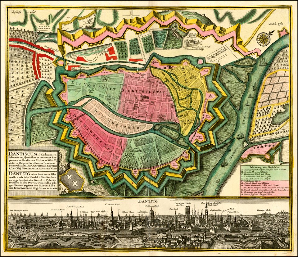
ports and harbours of the polish-lithuanian commonwealth
old maps of gdańsk
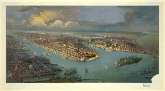
lithographs of new york city
chromolithograph
19th-century satirical maps
1870s maps of the world
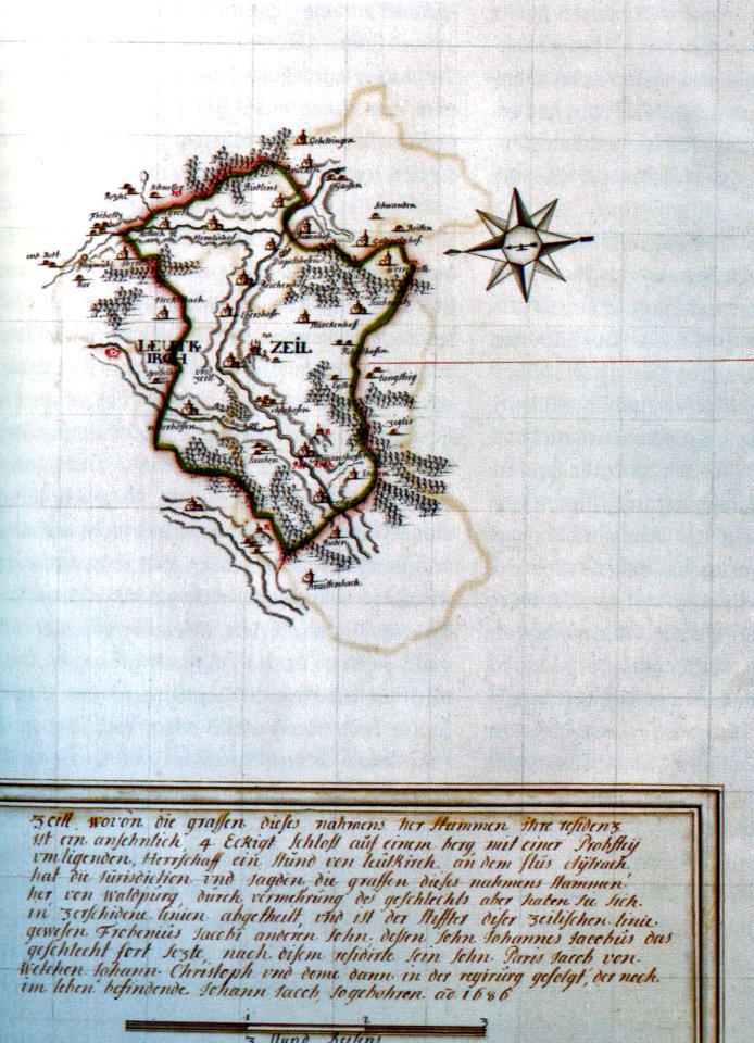
history of leutkirch im allgäu
schloss zeil
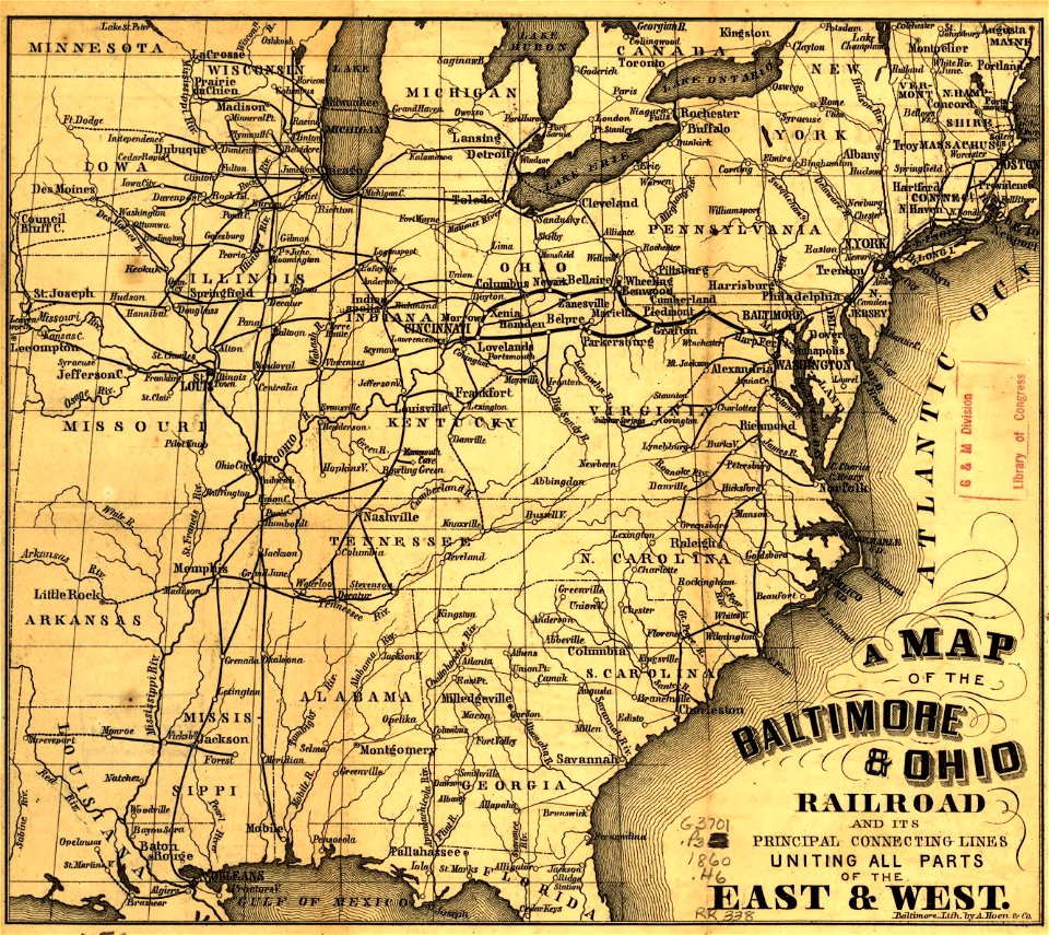
maps in the library of congress
a. hoen & co.
maps in the library of congress
a. hoen & co.
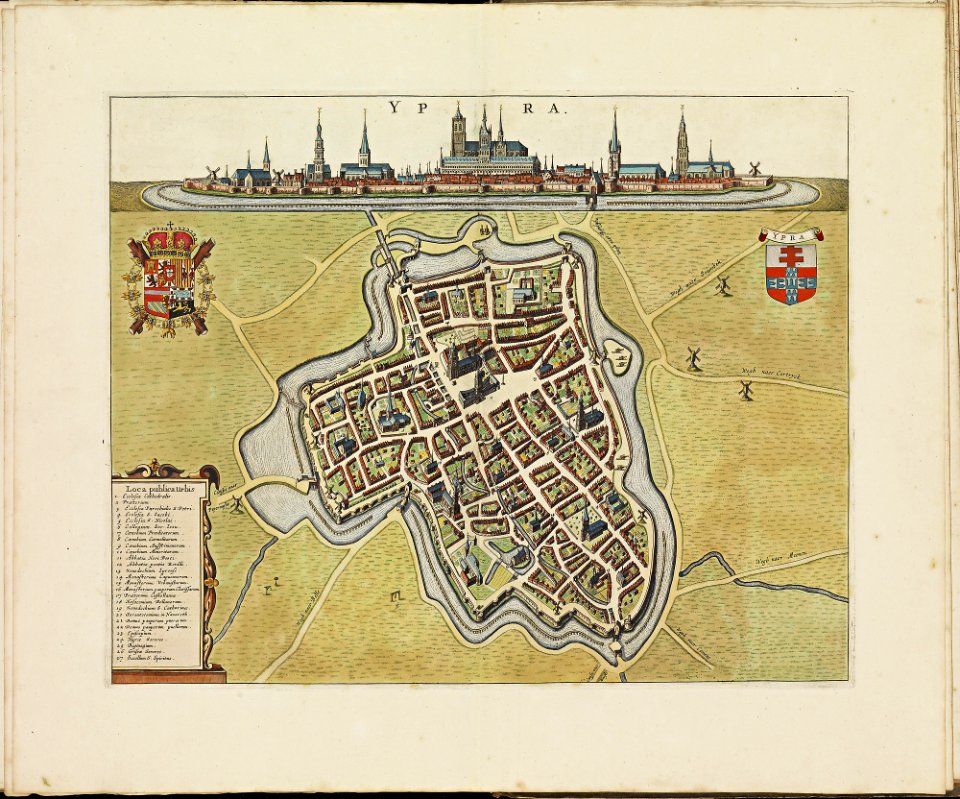
atlas de wit 1698
frederick de wit
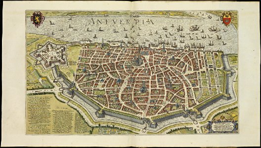
maps of antwerp city walls
frederick de wit
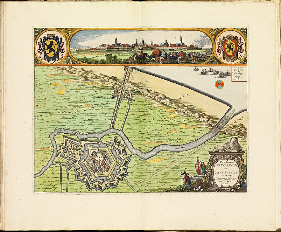
maps of gravelines city wall
frederick de wit
maps in the national library of australia
claes jansz. visscher (ii)
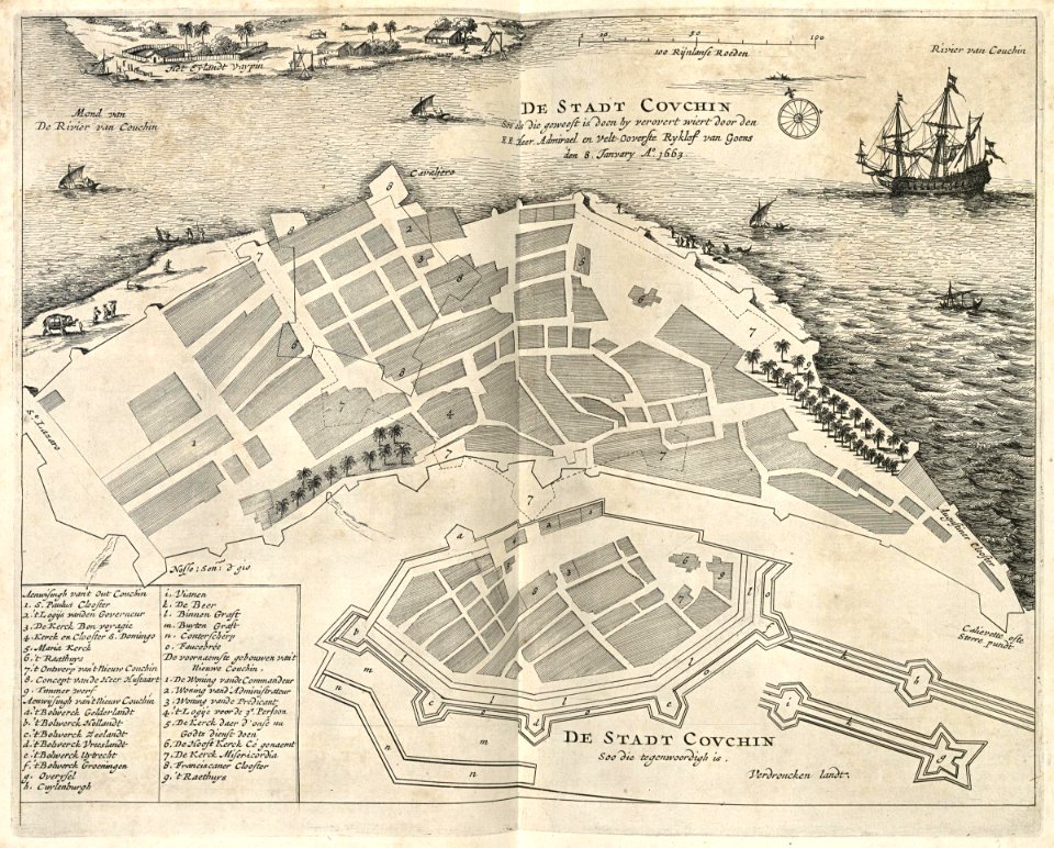
maps of the dutch east india company - sri lanka
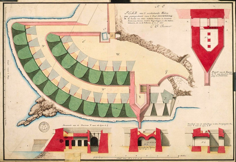
maps of fort fredrick
maps of the dutch east india company - india
1672
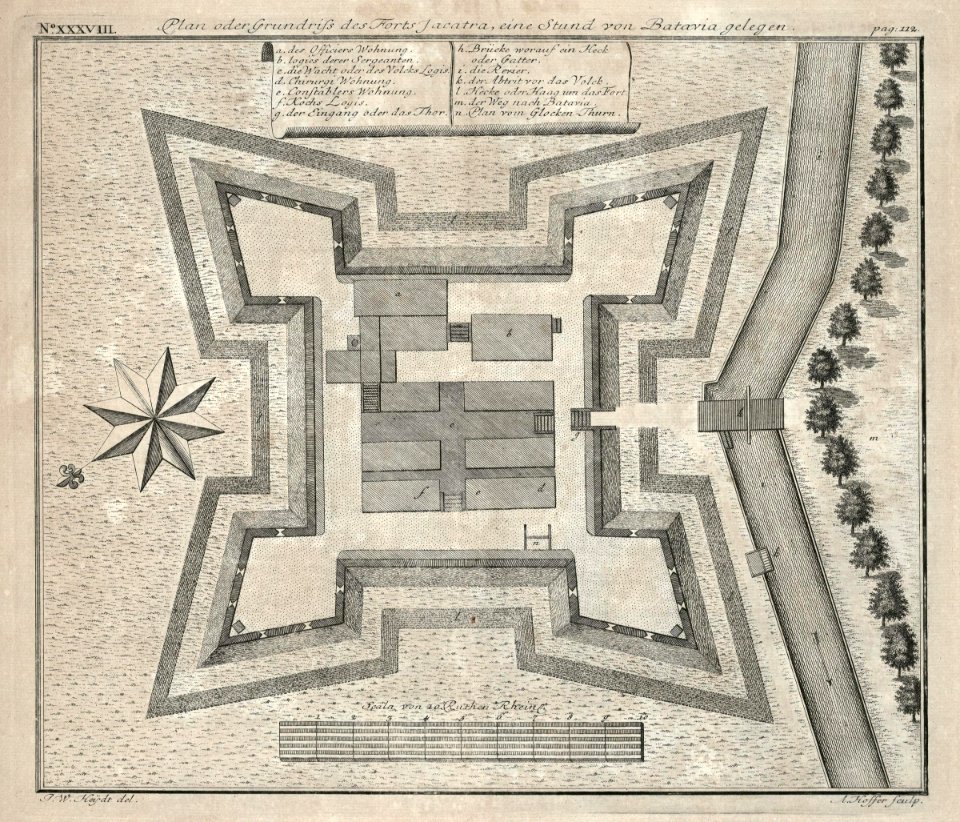
18th-century maps of indonesia
1744
nicolaes visscher ii
1681
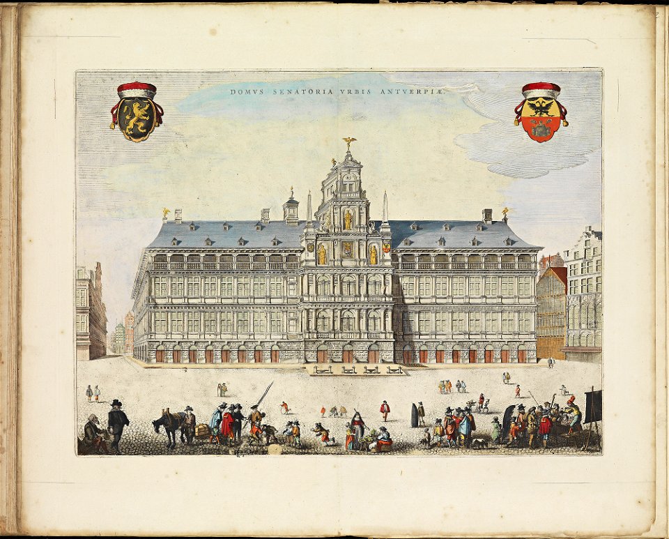
maps of antwerp city walls
frederick de wit
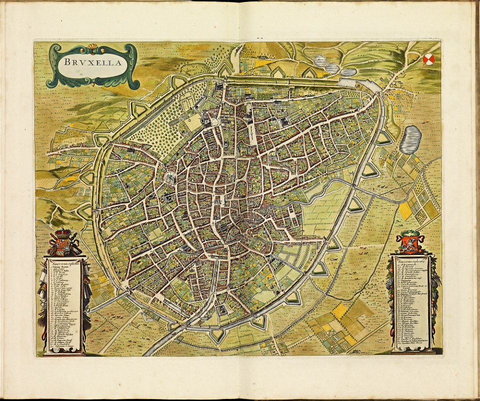
old maps of brussels
frederick de wit
atlas de wit 1698
frederick de wit
3901 - 4000 of 1,095,865
Next page
/ 10959